2018
Sterographs
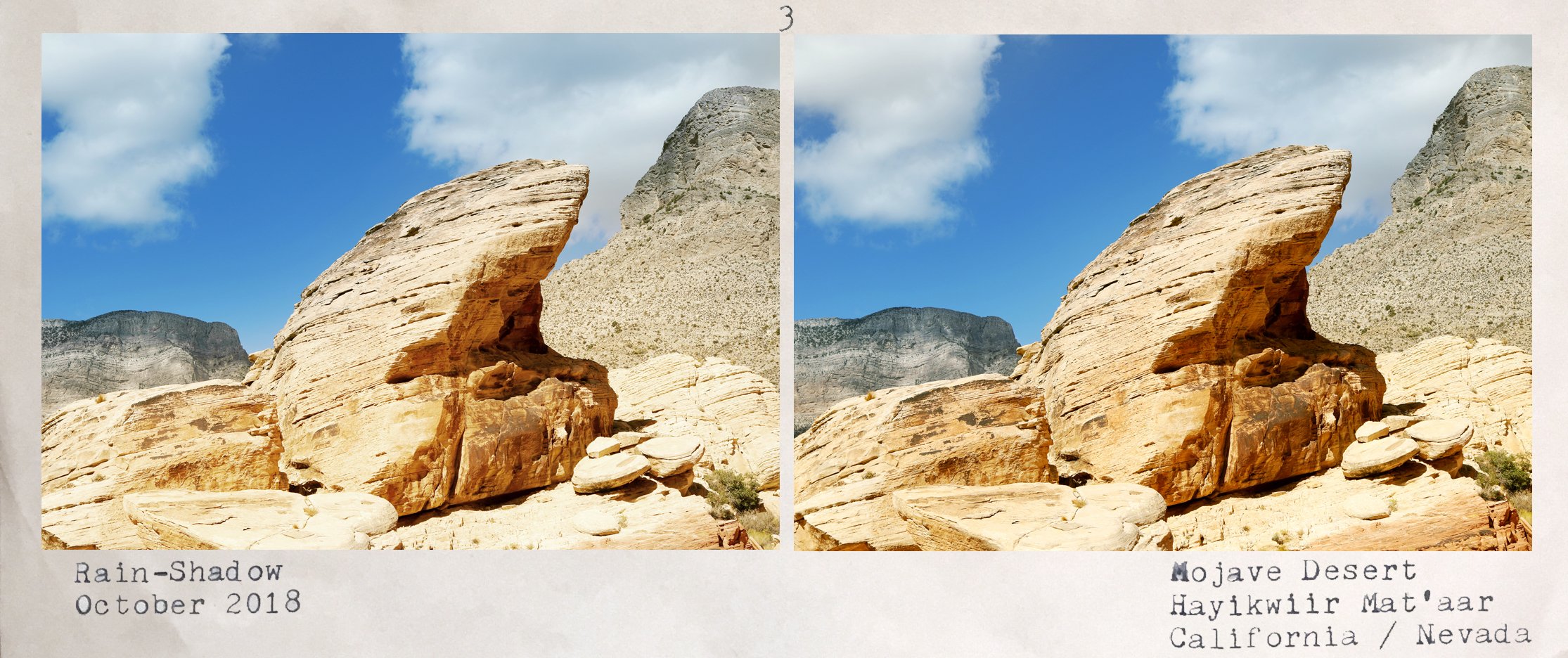
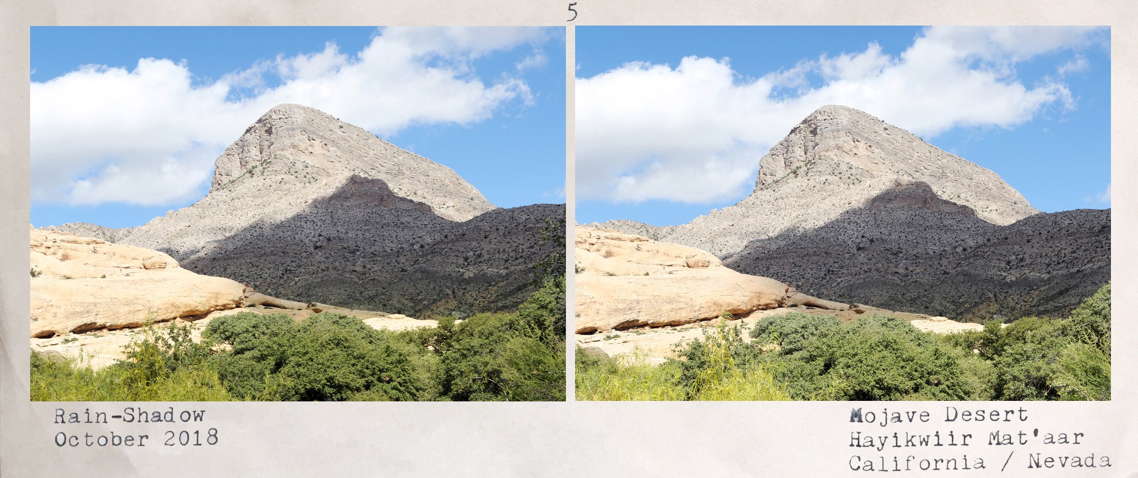
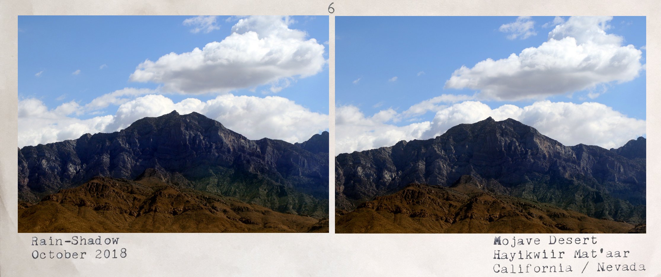
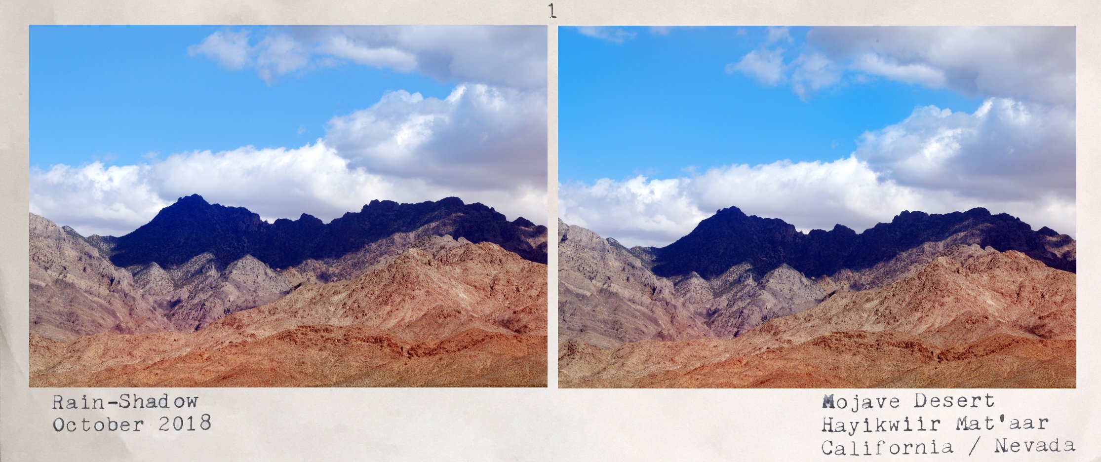
RAIN SHADOW // Stereoscopic cards of California and Nevada's rain-shadow Mojave Desert
The Mojave is a rain-shadow—dry area on the leeward side of a mountainous area—desert and the driest desert in North America occupying 47,877 square miles and stretching over four states, also including small swaths of Arizona and Utah. The Mojave Desert is bordered by the Great Basin Desert to its north and the Sonoran Desert to its south and east. Topographical boundaries include the Tehachapi Mountains to the west, and the San Gabriel Mountains and San Bernardino Mountains to the south. The mountain boundaries are distinct because they are outlined by the two largest faults in California – the San Andreas and Garlock faults
Stereoscopy: a technique for creating or enhancing the illusion of depth in an image by means of stereopsis for binocular vision. Most stereoscopic methods present two offset images separately to the left and right eye of the viewer. These two-dimensional images are then combined in the brain to give the perception of 3D depth.